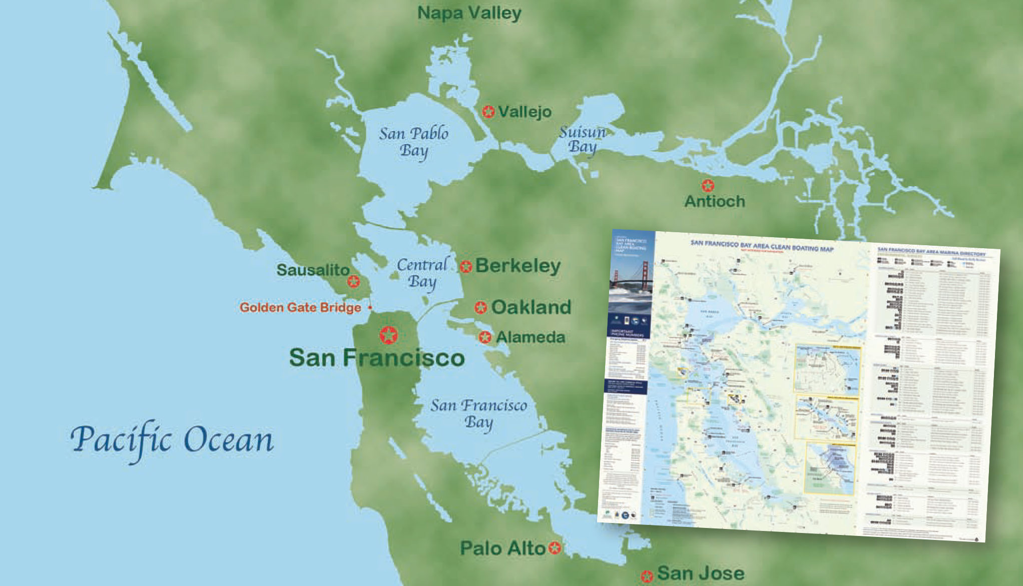
The San Francisco Bay Area Clean Boating Map shows the locations of launching ramps and marinas, and contains essential contact information for marine patrols and sanitation stations.
The San Francisco Bay estuary is a great inland waterway, reaching 60 miles from San Jose north to the Napa River valley, and extending from the Pacific eastward through several watersheds almost as far as Stockton.
Central Bay, bounded by the Golden Gate Bridge, the San Francisco city front, Sausalito, and Berkeley, is filled with boats on any weekend. The actual San Francisco Bay reaches from Central Bay south almost to San Jose. To the north, San Pablo Bay connects with the Sacramento and San Joaquin river deltas, a large area of sloughs and canals to the east.
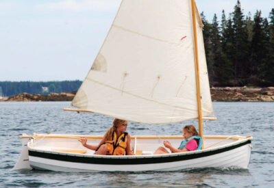
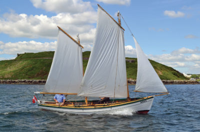
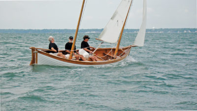
With the exception of much of the shallow San Francisco Bay, most of the water is navigable. Sailing conditions can vary from the tranquil delta region to windy Central and Suisun Bays. Tidal currents in some areas can be strong and need to be taken into account for navigation. It is no surprise that the Central Bay hosted the America’s Cup in 2013, since it is arranged like a giant amphitheater with great visibility of the racecourse from many vantage points, including the city headlands, Angel Island, and Alcatraz Island.
 John Marples
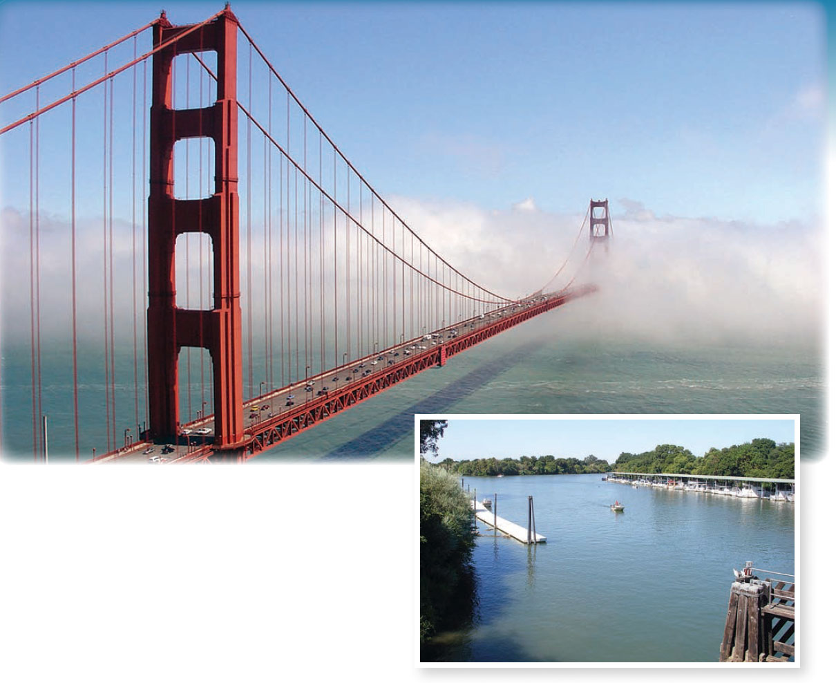
Above—Fog blankets the Golden Gate Bridge, which forms the western boundary of Central Bay, and separates the San Francisco Bay Estuary from the Pacific Ocean. Inset—A typical marina in the delta waterways east of Suisun Bay.
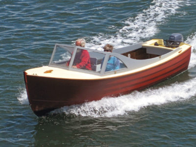
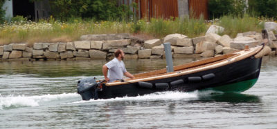
The trailer sailor has good access to launching ramps over the entire region. Clipper Yacht Harbor in Sausalito, just north of the Golden Gate Bridge, is a favorite ($20 fee with parking) since it has direct access to the Central Bay and is shaded from the winds and fog most of the time. The Alameda estuary is another favorite, on the Oakland side, with a couple of free ramps.
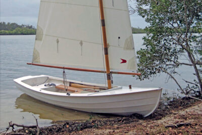
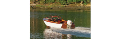
Small-boat sailors will enjoy sailing in the estuary and stopping at the restaurants in Jack London Square. The delta, east of Suisun Bay, is another active region but is mostly used by power craft due to the narrow waterways and strong currents. Much of the delta waterways are elevated with levees so the view from on board is looking down on the land. The area is dotted with sleepy marinas, gas stops, and bars adding to the feeling of vacationland and a slow pace of life.
Resources
San Francisco Maritime National Historical Park, P.O. Box 470310, Building E, Fort Mason, San Francisco, CA 94147; 415–561–6662
The Arques School of Traditional Boatbuilding, P.O. Box 2010, Sausalito, CA 94966; 415–331–7134
The Spaulding Marine Center, Foot of Gate Five Rd., Sausalito, CA 94965; 415-332-3179
The San Francisco Bay Area Clean Boating Map
Ready to plan your next small boat cruise?
Read our guide on choosing the right destination for your trip where we share some other top small-boat destination ideas.
I realize this is an old article, but if anyone is going note that the Clipper launch ramp is no longer public. Someone slipped on seaweed there years ago and sued (for seaweed being in the ocean?) so that very useful ramp is no longer available. There is not a good alternative with parking in Richardson Bay, making Angel Island now difficult to reach for trailer sailors.
The Delta, on the other hand, has many access points and some great uncrowded sailing.
Thanks Rick, good to know. But what a shame.