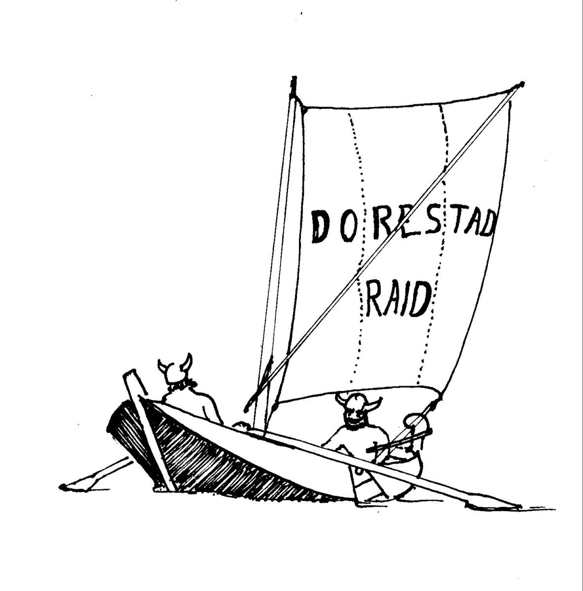
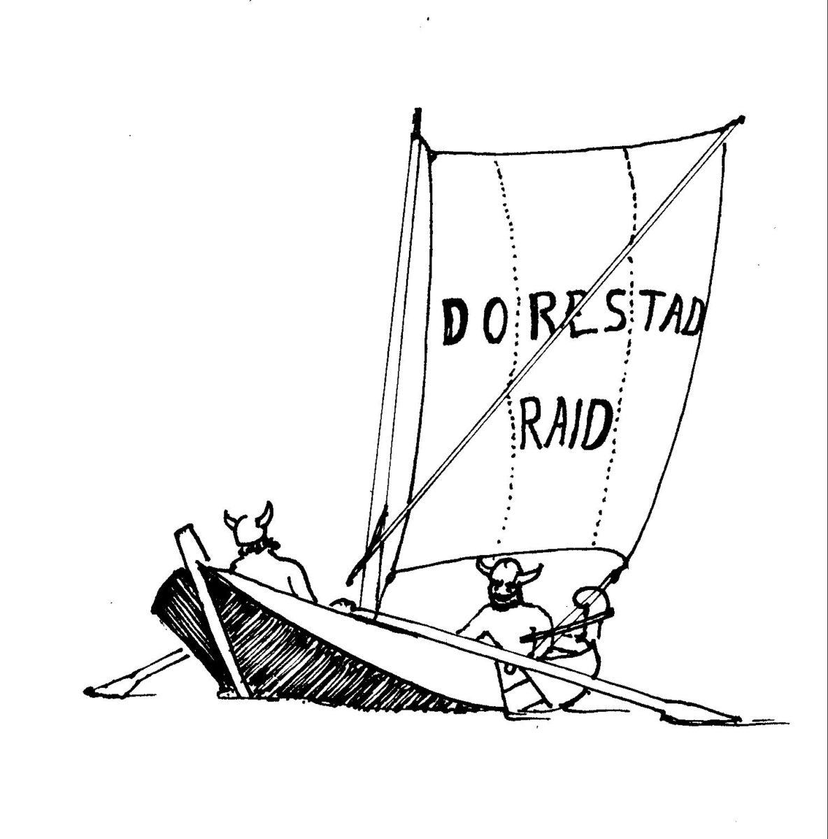
The Dorestad raid takes place annually from Wednesday evening to Sunday afternoon in September, each year taking a different route in the Netherlands.
Participants are to complete the entire route without the use of an engine. Playful competition elements are inevitable, but it is not a real competition. The most important thing is that all are enjoying themselves.
Each day there is a stage which all participants should be able to complete, if necessary with some assistance. All however having due regard for the Terms and Conditions and the Safety Points.
In the morning there will be a briefing explaining the stage for the day and what you can encounter along the way.
Each day ends in afternoon at the place of destination, as agreed in the morning briefing. At the place of destination one will find the accompanying mother ship, the accommodation barge the ‘in Dubio’ of Leo and Hannah Versloot.
The price includes the evening meals, breakfasts and packed lunches, coffee and tea. Other drinks must be paid separately. All participants are, in accordance with the cores schedule, to help once during the raid setting and clearing the tables as well as doing the dishes. Please indicate your dietary requirements on the registration form.
For an additional price one can sleep on board the ‘in Dubio’. If so desired, bed linen is offered at an extra charge. Everything is to be specified on the registration form.
Please also note the Terms and Conditions and the Safety Points.


