The chart of charts has been updated. This article at NOAA’s website details the revisions that appear in the new version.
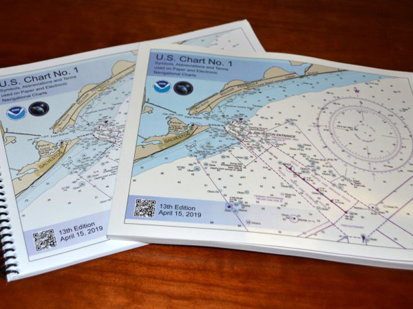
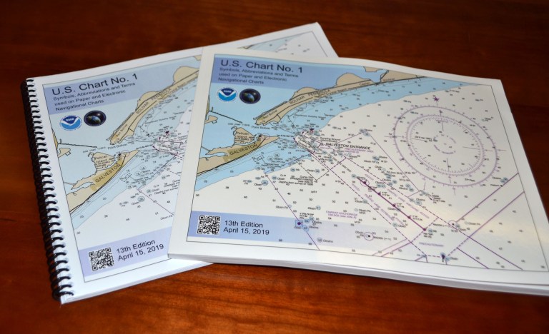
As always, the chart is available for free download through NOAA’s site, and they say that you can buy the new printed version through four approved printers and distributors. Chart No. 1, “describes the symbols, abbreviations, and terms used on paper NOAA nautical charts and for displaying NOAA electronic navigational chart (NOAA ENC®) data on Electronic Chart Display and Information Systems (ECDIS). The document also shows paper chart symbols used by the National Geospatial-Intelligence Agency and symbols specified by the International Hydrographic Organization.”
 NOAA Office of Coast Survey
Chart No. 1 as a booklet. Image courtesy of NOAA.
Join The Conversation
We welcome your comments about this article. If you’d like to include a photo or a video with your comment, please email the file or link.