The morning on Lake Nipigon brought cool air, clear skies, and a few faint wisps of cloud to color the sunrise. I unzipped the tent and crawled out onto this narrow beach on Murchison Island. There was a line of fresh moose tracks between me and the water’s edge, barely 3′ from my front door. So much for thinking of myself as a light sleeper.
Until last night I had been sleeping aboard at anchor. This was the first beach I had seen in 80 miles, and only the second island I’d managed to set foot on. Everywhere else, the lake ran right up against thick forest or steep cliffs, making it almost impossible to get ashore, much less find a place to set up the tent. I’d been confined to a 15′ boat for five days and nights so when I noticed the bright fringe of sand at the head of the bay, I hadn’t hesitated —I just sheeted in to gather speed and ran the boat, a Phoenix III I’d borrowed from my brother, right up onto the beach, eager to step ashore for a while but unambitious enough that “a while” soon changed to “for the night.”
 all photographs by the author
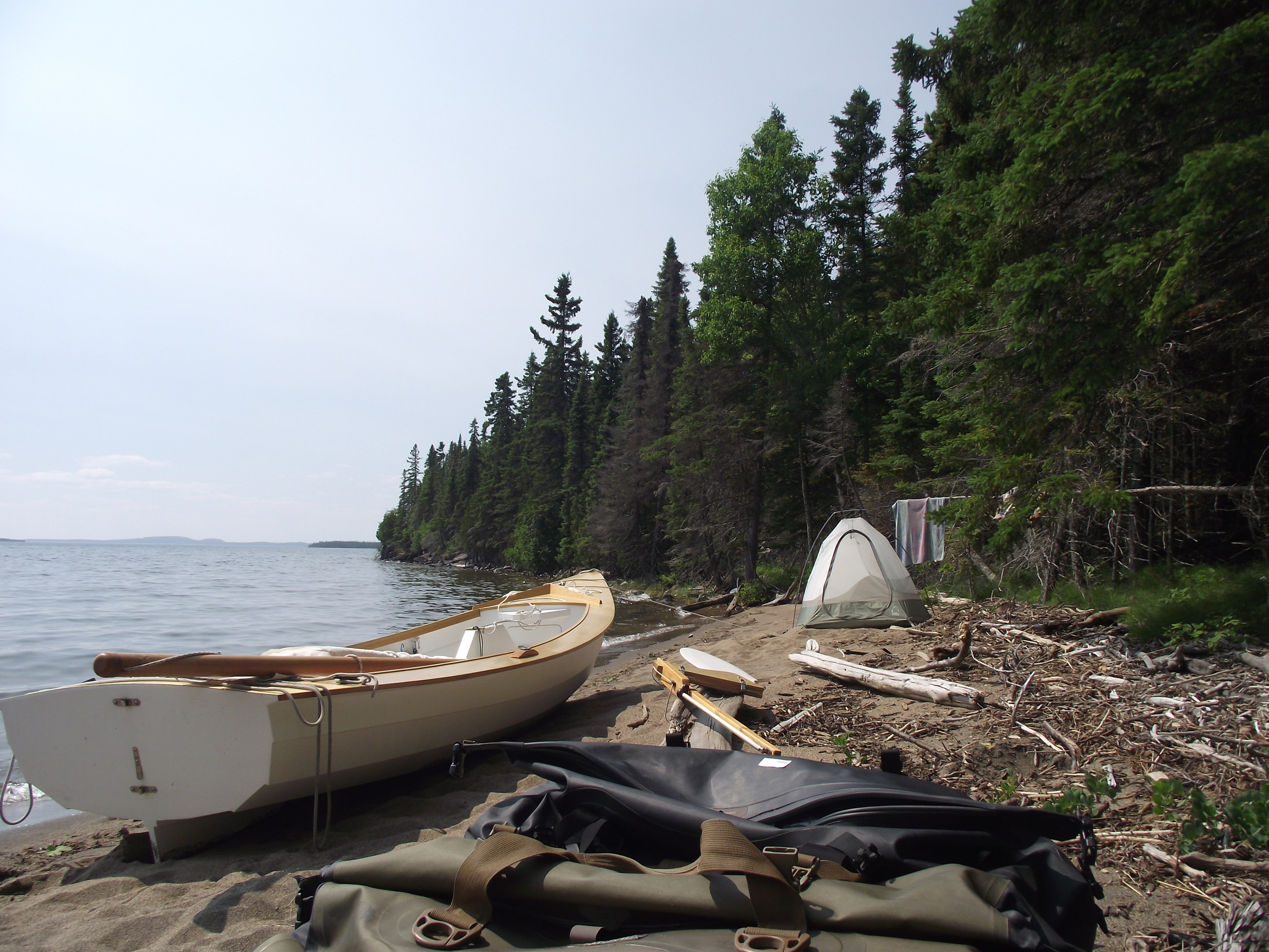
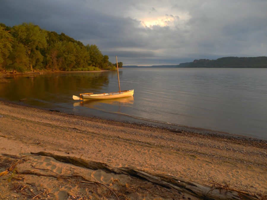
Murchison Island’s narrow sand beach offered a rare opportunity to camp ashore. I didn’t have to think twice about stopping here when I saw it—I hadn’t set foot on land in two days.
After setting up the tent on the flattest patch of beach, I unloaded the gear, shoved a couple of plastic fenders under the keel, and rolled the boat up onto the sand as far as I could. It wouldn’t be far enough if the wind backed west, but I’d had southerlies all week. I wandered through the island’s dark interior, a maze of swamps and spruces so dense that I could hardly believe that the moose whose trails I was following had been able to fit through the gaps between trees. At dusk the mosquitoes swept in like the wrath of God and I retreated to the tent.

A head net is essential gear for any Lake Nipigon trip. Mosquitoes weren’t too bad at anchor most nights, but ashore, they were fierce and unrelenting.
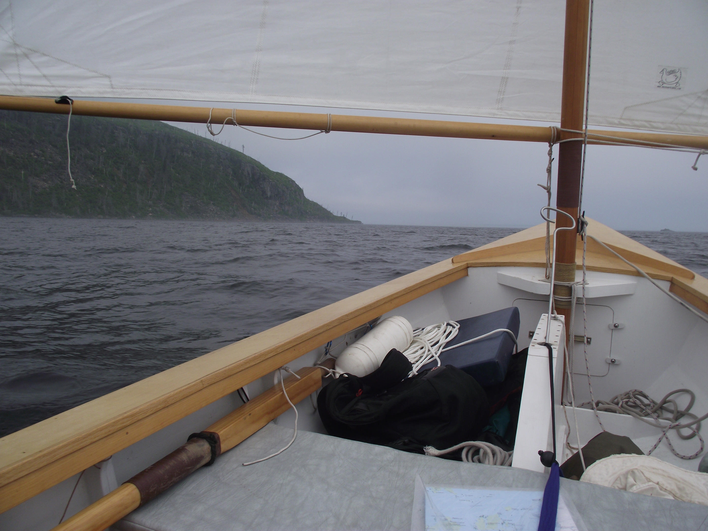
Camping ashore makes for a slow start. The sun was already high overhead by the time I’d dragged the boat back down the beach to the water’s edge, reloaded the gear, and shoved off. I had only the vaguest of plans: Head south until I found somewhere to stop for the night, repeat for the next 60 miles over three or four days, and get back to the South Bay boat ramp. The wind was southerly and light enough that rowing would have been faster than sailing, but I reminded myself that if speed were the point I wouldn’t be sailing. I hoisted the sail, sheeted in, and started tacking down Murchison Island’s west side, past a scattering of heavily wooded islands too small for names. I shuffled a couple of boat cushions around and settled in for a long day. I had sailed my brother’s boat before, but this was my first chance to sail it alone. It had seemed like a very good boat with both of us aboard; with me alone, it was nearly perfect.

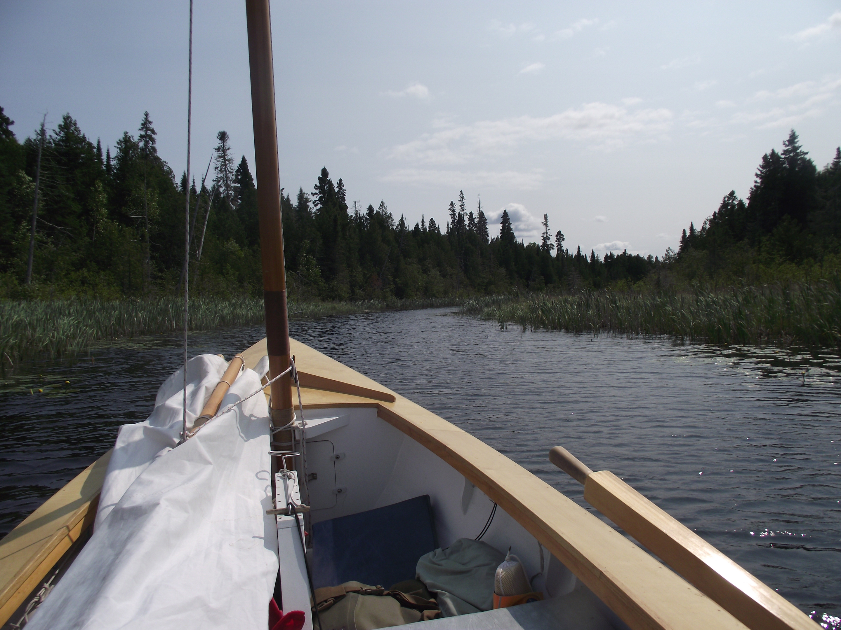
With summer rains and high water levels drowning the beaches at many of the official crown land campsites, the ability to live comfortably at anchor—or nosed into a reed bed—was a big advantage.
As I rounded Selwynn Island the wind faded away until the boat was barely moving. I packed the seat cushions away and stood up. I didn’t feel like rowing—there had been plenty of rowing already on this trip, whole days of it—so I was happy to discover that, standing on the garboards with the tiller between my knees and the sheet in one hand, it was easy to shift my weight enough to give the sail a good shape and keep it drawing. The boat kept gliding smoothly forward across flat water.
I had been thinking of anchoring somewhere off Shakespeare Island, but it was 20 miles away and the sun was already dropping toward the horizon. There were a few other islands within reach, clustered at Murchison Island’s southwestern edge, but none offered a place to step ashore. About 4 miles past Rodger Island and before the 7-mile crossing to Shakespeare Island there was one last pair of islands, one with an anchor symbol marked on the map. Harbor Island, I decided, would be where I’d spend the night.
Tall cliffs and rocky headlands guard the lake’s southern shores. I kept well offshore to get steady sailing winds.
But the wind kept shifting as evening came on, header after header, and by the time I cleared the southern tip of Rodger Island, the sun was touching the horizon. The wind was growing stronger and my pleasant day was going to end with a cold, wet beat 4 miles dead to windward. I dropped the centerboard all the way, tensioned the outhaul, and sheeted in tight. I was soon hiked out on the side deck, trying to manage the sheet and zip up my rain jacket at the same time. After nearly a week of broad reaching and running, working to windward seemed painfully slow. And cold. The water must have been somewhere around the 50s, and sailing solo there was nobody on the forward thwart to block the blasts of spray.
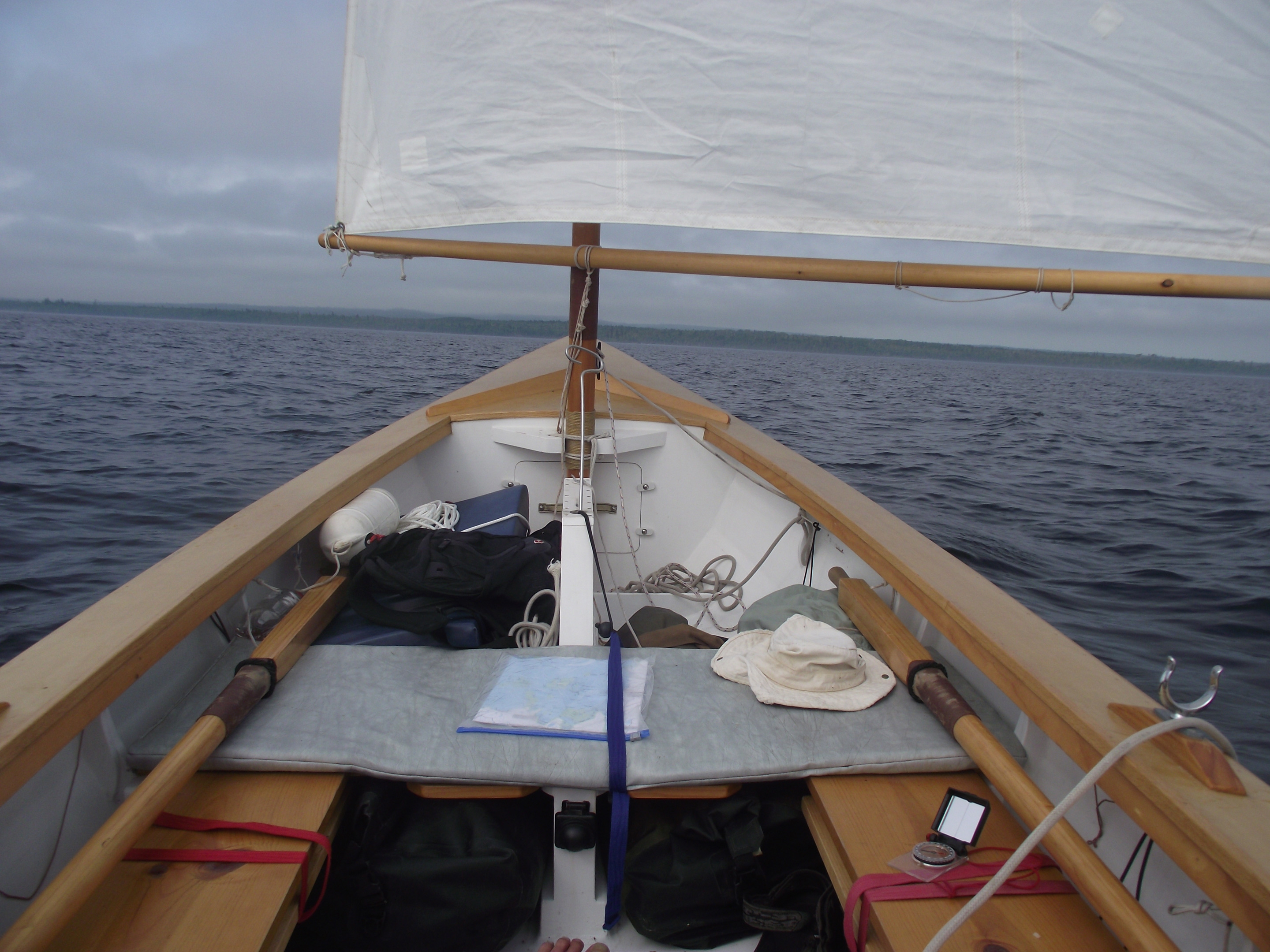
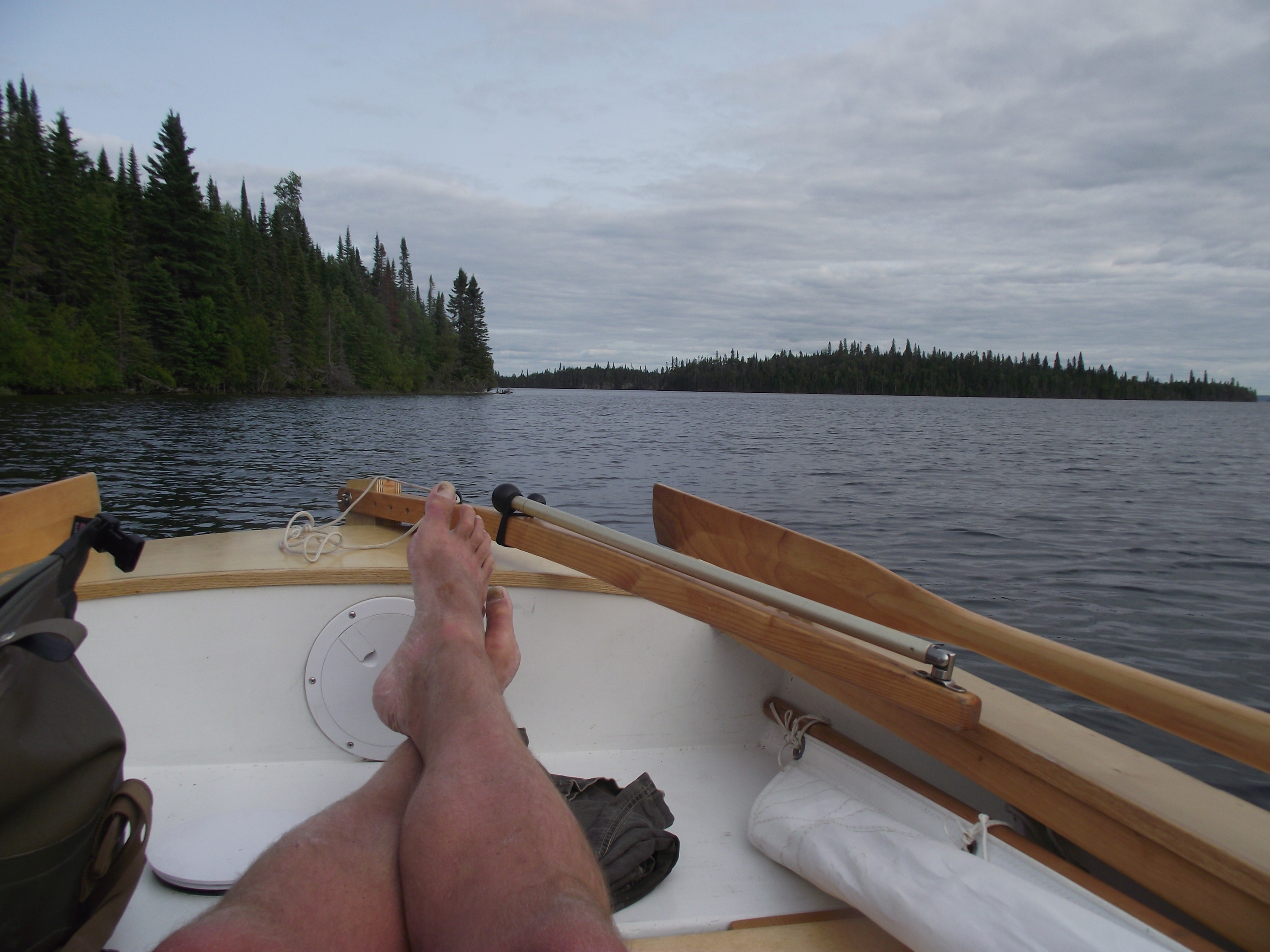
Southerly winds mean fair weather on Lake Nipigon, and long days of reaching and running. I often set out under oars before the morning breezes set in, and set the anchor as the sun went down.
Soon the wind was strong enough that reefing wouldn’t have been out of the question, but I kept on without it, hoping a longer leading edge to the sail would be an advantage for windward work. The wind was getting stronger, about 20 knots, more than enough to churn up a short, steep chop. I was forced to fall off a few degrees to preserve momentum, and then a few degrees more as the wind kept building. By the time I was closing in on Harbor Island’s northern tip, I was barely making any headway at all, and even that was mostly taking me in the wrong direction.
From the brief glances I could spare for the map, it looked like Harbor Island’s anchorage might have a southern exposure, exactly wrong for these winds. It was hard to be sure—the island was small, and the map was printed at such a low resolution that the smaller features were pixelated and indistinct—but conditions were approaching the point where running off would be my only option anyway.
It’s hard to fall back on Plan B when you’ve barely managed to form a Plan A, but I had little desire to beat down along the southern side of Harbor Island only to enter an unfamiliar and dangerously exposed anchorage on a moonless night. I headed up into the wind and scanned the horizon for better options. The sail swung wildly back and forth in the gusts, snapping the loose sheet around the cockpit while the boat lurched and yawed in the waves. The sun had set more than an hour ago. Whatever I was about to do, I’d be doing in the dark.
Three nights ago I had anchored at Dawson Island. It has a well sheltered bay that I knew I could find, even in the dark. I grabbed the map and made a hasty measurement: two thumbs northwest of Harbor Island, 6 miles from here. Dawson Island’s low silhouette was just visible off the starboard quarter, a broad reach in this wind. Relieved to have discovered a reasonable course of action, I tucked the map away and fell off on a port tack.
Darkness set in so slowly during the rush to Dawson Island that I didn’t realize just how dark it was until a cold wave broke over the boat without warning, leaving me soaked and shivering. A few minutes later another wave crashed over me and I was ankle-deep in 50-degree water. All I could do was keep the boat pointed northwest and hope that the two breaking waves had been anomalies rather than the new normal. It was too dark to see much of anything, so it was difficult to gauge speed, but I must have been doing 6 knots.
All at once there were breakers off the starboard bow. Waves were crashing onto Dawson Island’s southern shore, a dark and looming form that I could barely see. My perception of distance had been distorted by the darkness and I had come in too close. Just as I was about to try to fight my way off, the wind died away as abruptly as if someone had flipped a switch. I jumped forward and dropped the rig, set the oars in the locks, and started rowing. Shore was barely 5 yards off.
It was awkward rowing past the tip of Dawson Island with the big waves on the beam, but soon I was able to turn north, letting them sweep the boat along the 2-mile-wide channel between Kelvin and Dawson Islands. I kept in close to shore, not wanting to miss the entrance to the anchorage. And eventually the anchorage was there. I rowed up into the head of the bay, threw out an anchor, and rigged the boat tent. I’d come more than 30 miles from Murchison Island, most of them dead to windward. Just before crawling into my sleeping bag, I dug out my watch from under the side deck to check the time: 12:47 a.m. I’d spent 15 hours at the tiller and the oars. No wonder I was tired.

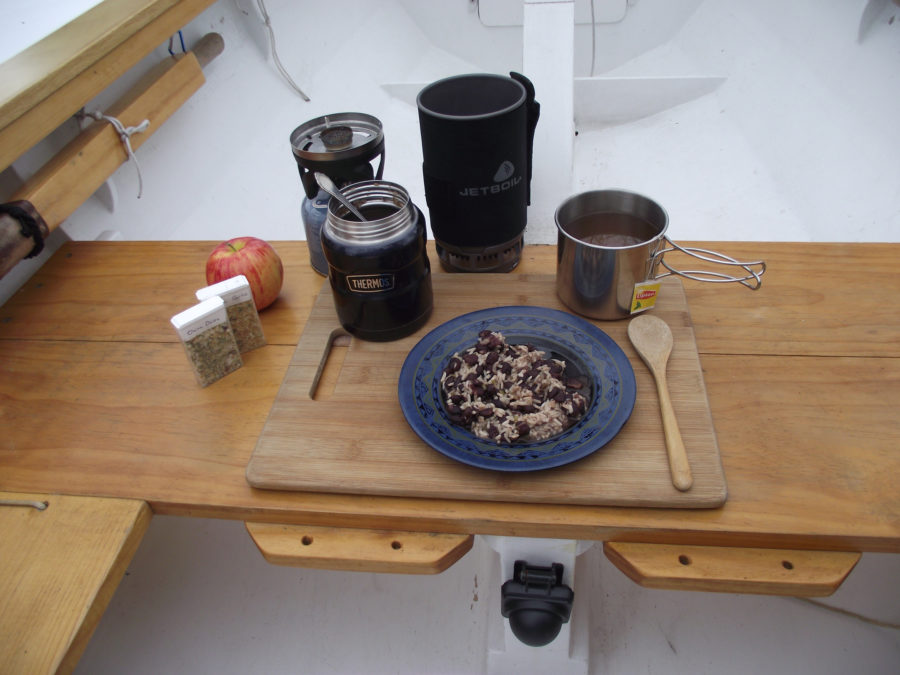
At Dawson Island a cold, all-day rain provided a perfect excuse to huddle under the boat tent and read A Week on the Concord and Merrimack Rivers, Thoreau’s account of one of his own sail-and-oar journeys.
The next day was all gray skies and rain, but at least it kept the mosquitoes away. I huddled under my improvised boat tent, reading and eating whatever didn’t require cooking. Every few hours I’d bail out the boat, and then go back to reading. I have a high tolerance for sloth, but it was a bit much even for me. Toward evening the sun broke through for a moment and two otters scampered across Dawson Island’s tiny beach and into the forest. Cheered by the clearing skies, I leaped up and started rolling up the tent so I could at least row around the bay. A few seconds later the clouds closed in and the rain came pouring down again. I flipped the tent back up and dived beneath it. Back to my book.
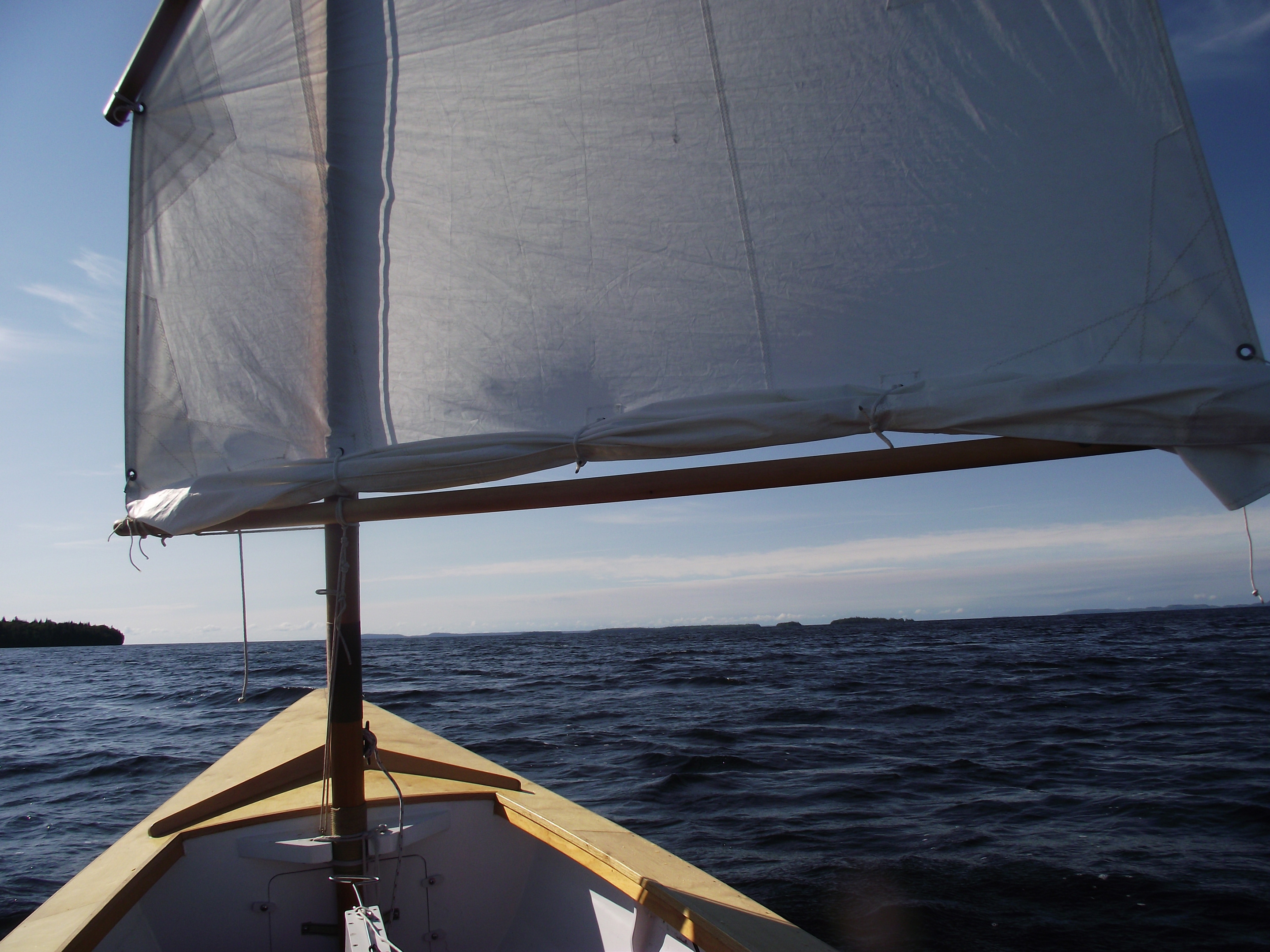
When morning finally came around again with clear skies, I didn’t waste time. After rolling up the tent and packing everything away, I rowed out of the bay and straight into a north wind—the first of the entire trip, and strong enough that I hoisted the sail with the first reef tied in. I let it luff while I thought about what to do. Too strong a northerly wasn’t ideal for the long hop to Shakespeare Island, and it was still early, which meant the wind would get even stronger as the day went on. With 15 miles of open water and a 40-mile fetch, conditions would only get worse from here. Then again, it might be the only northerly I was going to get, and on one long broad reach I could easily manage 5 or 6 knots; it would take less than four hours to reach Shakespeare, where I could hide behind the tall bluffs at Kings Head.
Besides, I had a boat I was confident in. If I did capsize, my drysuit that would protect me from the cold, and I was confident I could recover quickly. Or, before the worst could happen, I’d drop the rig and run off under oars. The Anderson Islands were about halfway through the crossing, and I could duck into the little cove and a campsite on the middle island’s south side where I could wait it out.
No, it might get a little uncomfortable out there, but I didn’t think it was blatantly stupid to set out. I made sure everything was lashed down or tied in and set out on a port tack, steering toward Kings Head, just visible on the horizon. The lake was already all whitecaps and gusts, but the boat surged ahead smoothly over the waves, getting closer to a safe harbor every moment.
Strong northerly winds and a 40-mile fetch called for caution at the start of the long run to Shakespeare Island. I started out with a single reef tied in, but by the time I sailed into the lee of the Kings Head bluffs ten miles later, I was kicking myself for not double-reefing instead.
Several hours later, as I neared Kings Head, the waves were rising behind me, their crests looming well over my head. They rose up over the transom, one after another, tumbling ranks of steep 6-footers, but as each wave came up, the boat rose with it. There’d be the merest wiggle of the transom and then I’d be slicing straight down the face of the wave, with no tendency to broach. Finally I rounded the corner and cut into the quiet water in the lee of the Kings Head bluff. The long crossing was over. The boat had handled it easily, but it was definitely time to get out of the wind. It was time to release my grip on the tiller, relax, and breathe deeply.
After the long and wild run from Dawson Island, a tiny unnamed river provided a quiet rowing route through the interior of Shakespeare Island.
The rest of the day was perfect sailing, reaching and running down the lee of Shakespeare Island with plenty of wind and nearly flat water. Out on the open lake the waves tumbled along in a growling rush of whitecaps, but all that was behind me. I stopped for lunch at the mouth of one of Shakespeare Island’s tiny rivers, and rowed upstream until it got too narrow for oars before turning around and drifting back. Ten miles farther on I found a secluded anchorage in a cluster of unnamed islands. I dropped the sail, set an anchor, and settled in for my last night the lake. A couple of beavers swam around the boat, eyeing me, and a loon’s calls echoed across the water. I’d seen only one boat in the eight days I’d been out, but the beavers and the loon were all the company I needed.
A hidden anchorage just east of Shakespeare Island provided a peaceful setting for a final night aboard.
With the last of my evening chores done, I leaned back on the thwart and watched the faint breeze write ripples across the bay. By early afternoon tomorrow I’d be back at South Bay, get the boat onto the trailer, and hit the road, but for now I’d watch the world grow slowly darker, the light fading away to blackness until the sky was covered in a dense speckling of stars, with the bright belt of the Milky Way stretching from horizon to horizon. A shooting star streaked across the sky above me, and, a few minutes later, two more in quick succession. The sudden slap of a beaver’s tail broke the stillness. Reluctant to miss whatever might be coming next, I rigged the tent and zipped myself into my sleeping bag.![]()
Tom Pamperin writes regularly for WoodenBoat. His first book, Jagular Goes Everywhere: (mis)Adventures in a $300 Sailboat has just been published. His article on thermos cooking appears in this issue of Small Boats Monthly.
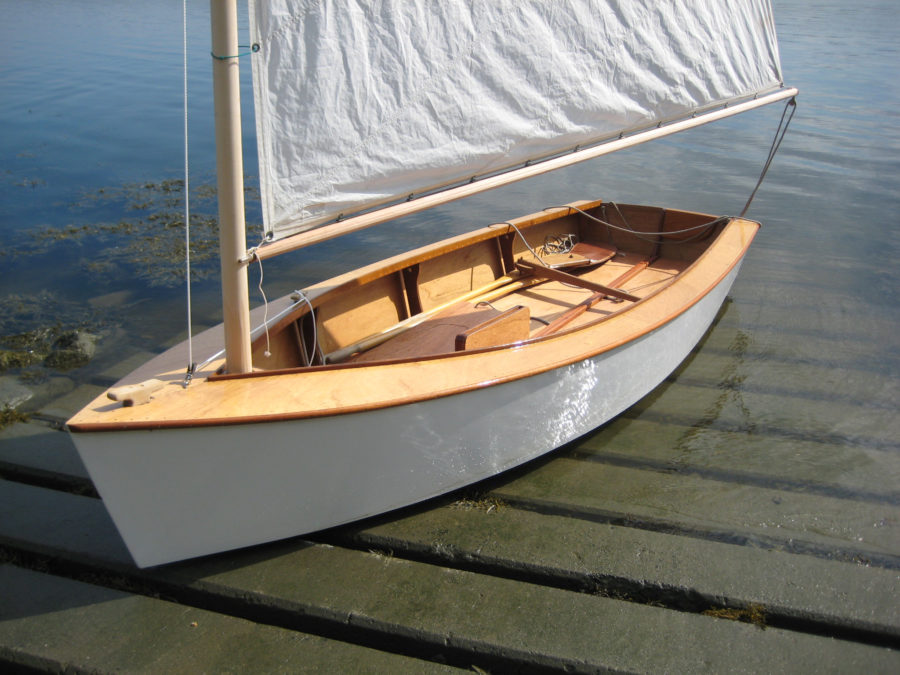
The Phoenix III
Ross Lillistone’s Phoenix III is just over 15′ long, with a beam of 4′ 6″. When I reviewed it for Small Boats 2013, I wrote that I couldn’t see much that would improve it, and my opinion hasn’t changed. It can take a 76-sq-ft balance lugsail or a 104-sq-ft spritsail sloop rig on an unstayed mast or a Bermuda sloop rig with a taller stayed mast. For cruising, I’d argue that the balance lug is the best choice: It’s easy to reef when things breeze up. All spars for the lug and spritsail sloop fit inside the boat for trailering, and these rigs take only minutes to set up. A non-stretch halyard and downhaul are essential for good performance, but few expensive fittings are necessary. My brother’s boat uses simple lashings wherever possible, a method I’ve come to appreciate for its simplicity and economy.
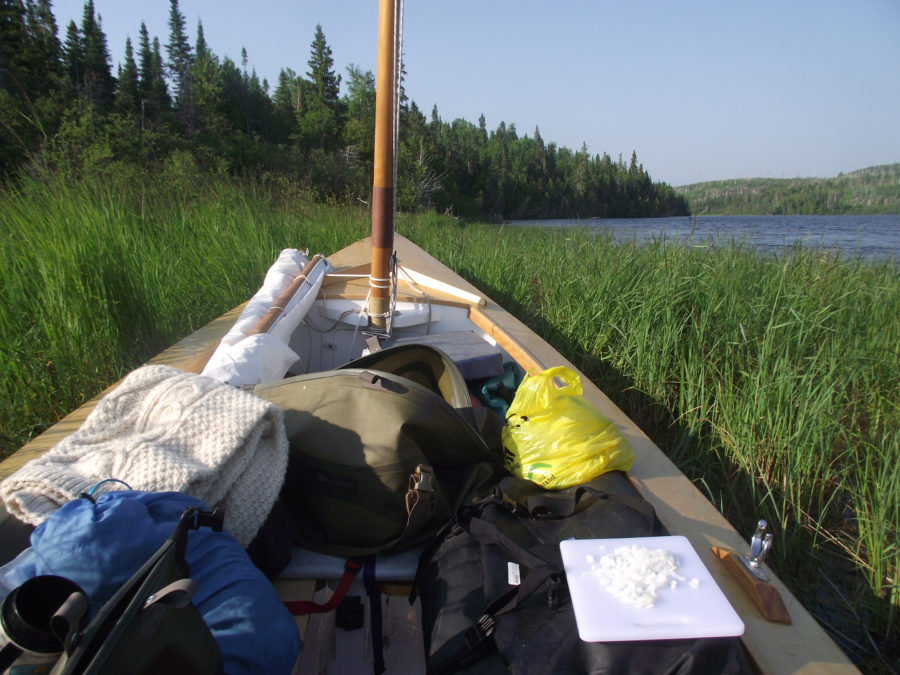
The Phoenix III is big enough for two to sleep aboard comfortably, using a platform rigged from the side benches and a couple of extra planks. There’s plenty of storage space under the thwarts and in the sealed buoyancy chambers. Once unloaded, it’s not too heavy for a solo sailor to roll up onto a beach.
The fine entry slices cleanly through the waves, while the wide outwales knock down much of the spray and make excellent handholds for moving the boat. Best of all, this is a boat that simply does not want to capsize: The hull shape makes it round up when pushed too hard, giving you plenty of time to react. If you do manage to knock it down (in my capsize tests it took a concerted effort by a couple of 200-pounders just to dip the lee rail), the wooden spars keep it from turtling. A tug on the centerboard, a few minutes of bailing, and you’re on your way.
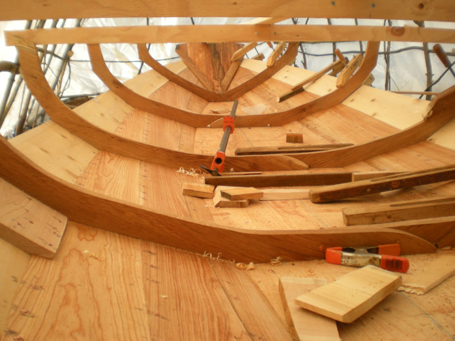
The excellent plans, building notes, and glued lapstrake construction make the boat suitable for a motivated first-time builder. If glued lap seems intimidating, the First Mate design is essentially the same boat in stitch-and-glue. Study plans, photos, and information are available at Ross Lillistone Wooden Boats. See WoodenBoat issues 236, 237, and 238 for the designer’s three-part article on building the Phoenix III.—TP
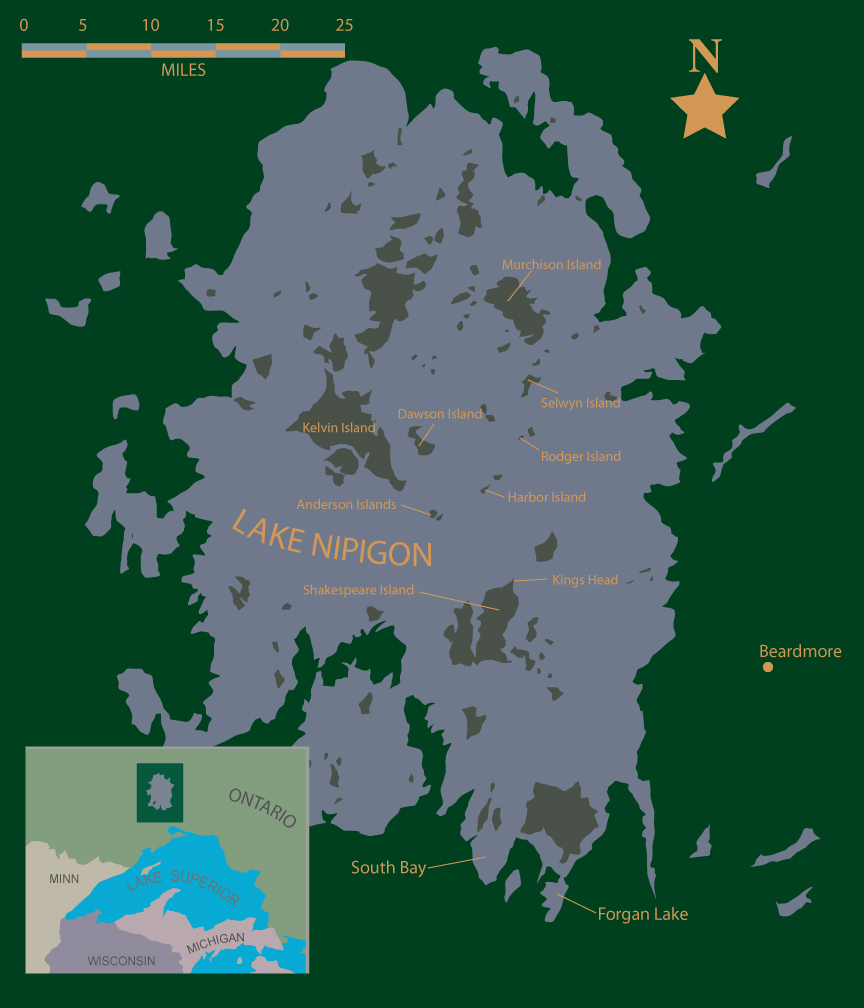
Lake Nipigon
At 60 miles long, and 40 miles wide, Lake Nipigon has more than enough to keep a sail-and-oar cruiser happy: wide stretches of open water, hundreds of uninhabited islands, and an almost complete absence of roads and development.
The well-protected South Bay ramp, which allows camping, is probably the most convenient launching point. The Forgan Lake access point at the Nipigon River’s Pine Portage Dam is a few miles closer, but camping is prohibited. Both ramps are public access, with no fees. There are private ramps along the eastern shore near the town of Beardmore, and at Kings Landing.
The South Bay boat ramp is one of the busiest launching sites on Lake Nipigon. Of course, in northern Ontario, “busy” is a relative term.
There are no charts available, but Chaltrek in Thunder Bay offers the Lake Nipigon Signature Site map, which covers the entire lake. Although it doesn’t show water depths, contour lines, latitude and longitude, or even a compass rose and declination, the map is probably accurate enough for most small boat cruisers. Despite its failings, in fact, it’s almost essential, if only because it marks boat ramps, access roads, and the dozens of official Crown Land campsites that are scattered around the lake’s many islands. The map also explains seasonal camping closures from March to August to protect nesting birds and calving caribou (yes, caribou—this isn’t the Arctic, but it’s still the North). A set of topographical maps covering the area are also be useful.
Nipigon is a big lake, with long crossings between islands, dangerously cold water, and little chance of outside assistance; visitors should be well prepared and self-reliant. They should also be ready to sleep aboard. Not only does anchoring out eliminate the need for non-Canadians to purchase an expensive Crown Land camping permit ($10 per person per night, available at the Pigeon River Border Crossing between Minnesota and Ontario, or wherever Canadian fishing licenses are sold), but it reduces exposure to the aggressive mosquito population (bring a head net) and discourages any black bears out looking for an easy meal. There are plenty of shallow protected coves; I never needed more than 20’ feet of anchor line.
Some campsites are well maintained; others are not (check Paddling Light for brief descriptions of selected campsites). Thick brush can make setting up a tent, or even simply stepping ashore, very difficult. And Nipigon is bear country so food needs to be secured accordingly. At many campsites there may be no place to beach a boat, particularly in periods of high water, but with no tides to worry about, it’s often possible to anchor from the stern in knee-deep water with a bow line tied to shore.
Bring everything you need. The town of Nipigon, thirty miles from the South Bay ramp, has just a few basic amenities: gas station, convenience store, commercial campgrounds, and a Subway. The nearest bigger towns are Thunder Bay, 100 miles west, and White River, 200 miles east.—TP
If you have an interesting story to tell about your travels in a small wooden boat, please email us a brief outline and a few photos.
Surely one of the best written, most comprehensive adventure articles I’ve yet had the privilege and pleasure of reading in this magazine. Many thanks to Christopher, WoodenBoat, and Tom.
Brad, thanks very much for the kind words about the article; I really appreciate it. I think the new Small Boats Monthly is turning out to be a great thing for the cruising community: lots of trips, lots of ideas for places to explore.